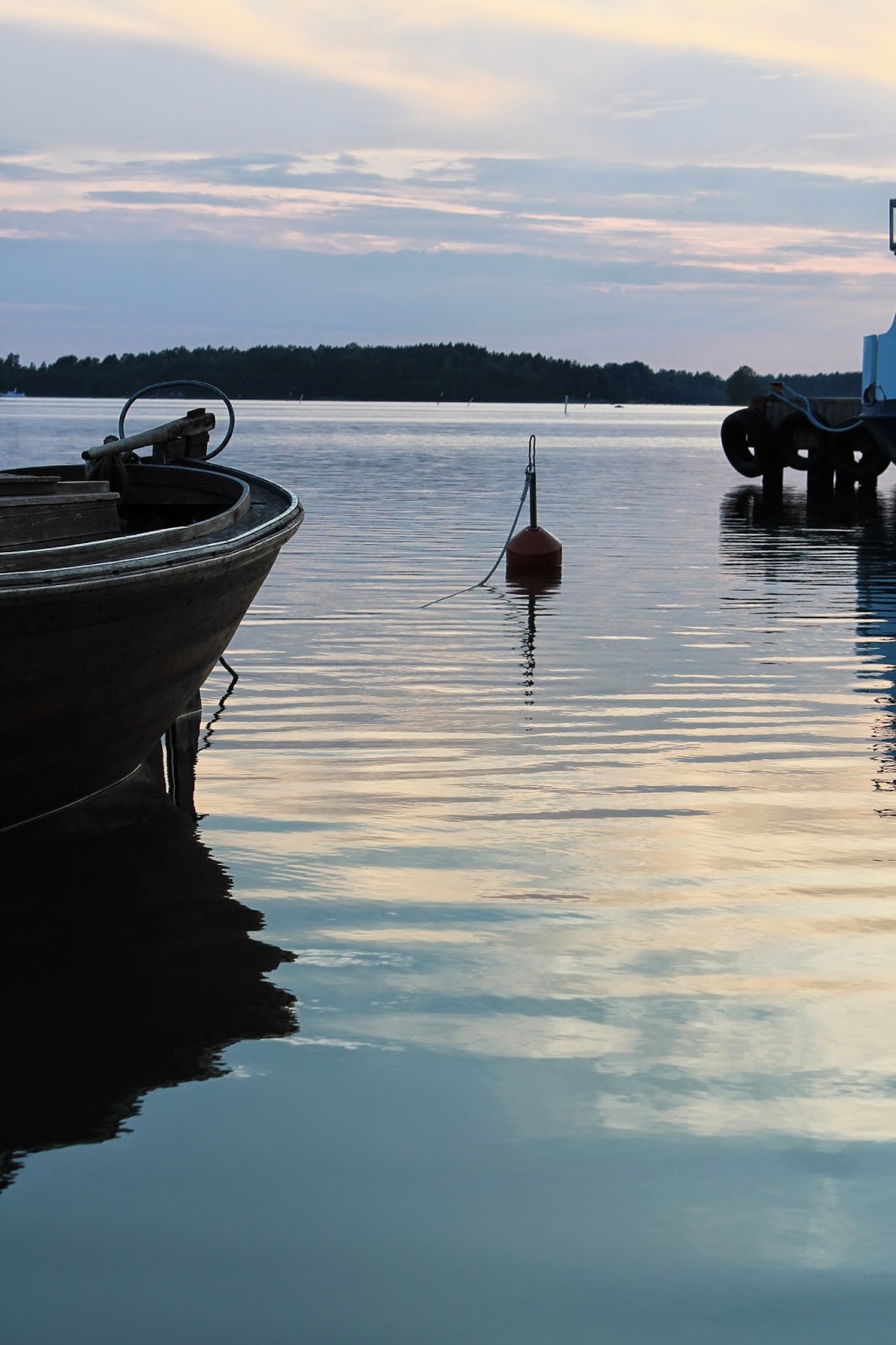
In the end of summer comes the melancholy, I try not to count the days but to look back the endless weeks at home with the whole family around me. It is though there and it is to seize the day. So I suggested a Korpo Runt, a boat-tour around our main island. So when all the summer-workering children had returned home we lifted the anchor!
When turning north from our village harbour you are in the Korpoström route that is an ancient passage and a place for battles between old royal Swedish and Russian fleet. Now the west side of Korppoo is popular among boat-people and surrounded by summer villas and cottage.
 |
| Skorvlot with the pilot cottage copy, a small island belonging to our village Rumar. |
We got some more diesel in Korpoström - and ice-creams to continue north-west corner.
 |
| Friend passing by with their Framtiden, the Future, a traditional archipelago sailing boat. |
There is an separate area of Gyltö, an army base which signs we couldn't read but respected. A cannon up on the top got the youngest carried away and the rest of the journey we were pirates lurking for ships to conquer...
 |
| Assisting the captain... |
 |
| Teleberget |
In the north side of Korppoo is Verkan harbour where the little Fiskö takes people to smaller islands and where a popular summer harbour and restaurant for leisure boaters is, the Buffalo. The scent of their barbeque watered our mouths so we took take-away-baguettes and had our evening meal on the deck heading east.
 |
| Harbour of Galtby where the yellow ferries leave for Norrskata and Houtskär islands and the white one to Ahvenanmaa, Aland. |
Wattkast is an island north of Korppoo with vivid cultivation of vegetables and flowers. It is there where we always drive to buy the meat we need, from the Nystu farm, that has its cattle and sheep free pasturing in the wild growing island of the national park. Wattkast got an over 200 metres long brigde ten years ago that now connects the island to Korppoo main land.
East of Korppoo is Nauvo, Nagu in Swedish. The yellow ferry works night and day taking cars and people over the waterway. In the Nauvo side it is also the home pier of Eivor, the bigger red and white ferry that drives the route to bigger island south from Korppoo. And it is free for people on foot! What a way to see the archipelago!
 |
| Eivor and Nauvo Pärnais ferry harbour |
It was getting darker and we could see the flashing lights of the small lighthouses along the route towards Utö and open sea. The air was humid of the evening and end of summer but at eleven p.m. it was still possible to find our own little marina.
 |
| At the left the old Fagerholm sea guard base and at the right the old pilot station of Killingholm. This is the route that the anchestors of our estate were piloting 300 years Turku-Utö island. AfterUtö south it is only the Baltic Sea and the next stop is Germany... |


)
)


